Home
Search
Browse Collections
My Account
About
Digital Commons Network™
Skip to main content
Home
About
FAQ
My Account
Home
>
iaham
>
site-photos
Site Documentation Photographs
Printing is not supported at the primary Gallery Thumbnail page. Please first navigate to a specific Image before printing.
Follow
Switch View to List
View Slideshow
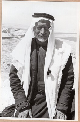
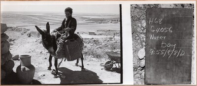
Cobblestone surface
Wall
Rock Fall
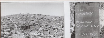
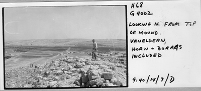
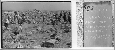
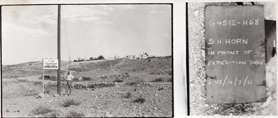
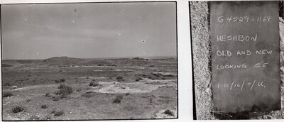
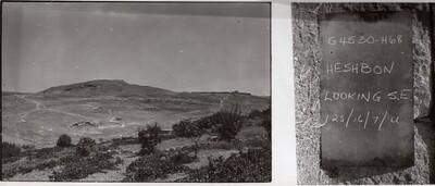
Area West of The Tell - Gourmeyet Hesban
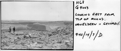
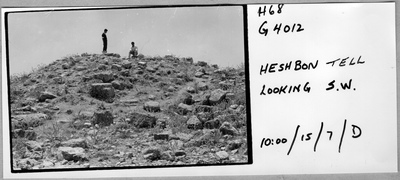
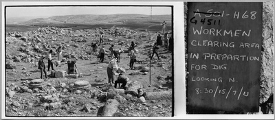
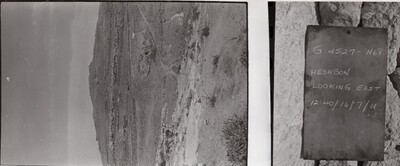
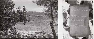
Area of East Tell
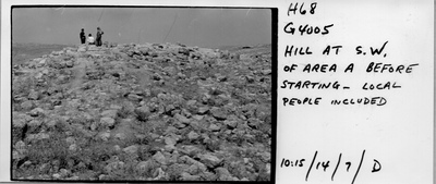
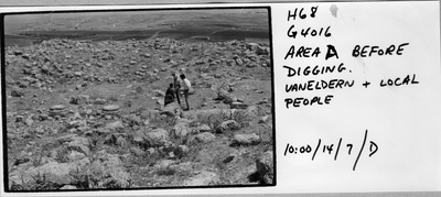
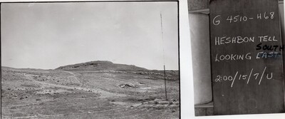
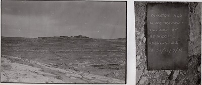
Area South the Tell
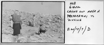
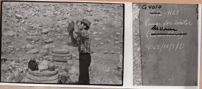
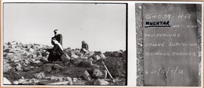
Site B1
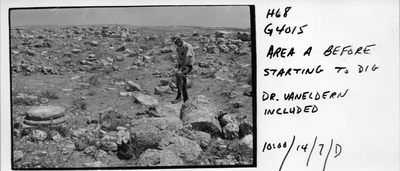
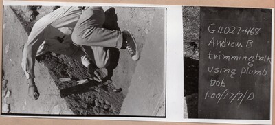
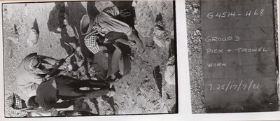
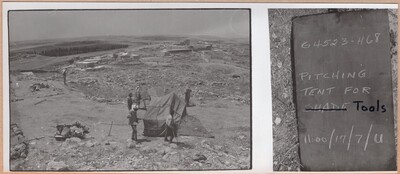
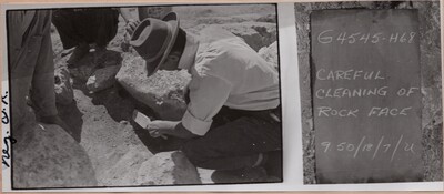
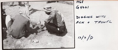
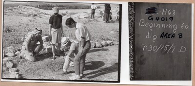
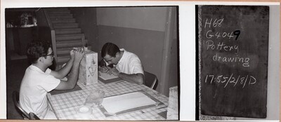
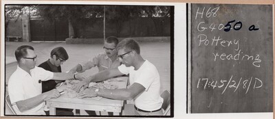
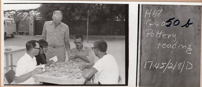
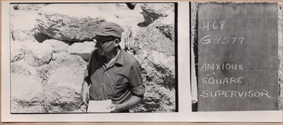
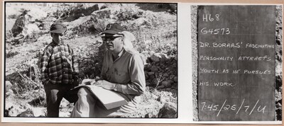
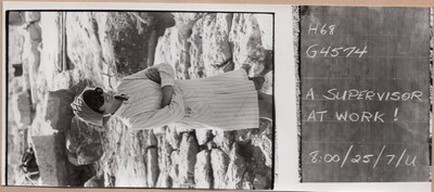
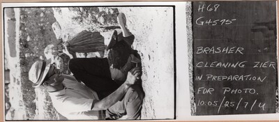
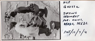
Strating Proper use of tool
Page
218
of
634
215
216
217
218
219
220
221
Library Links
James White Library
Exhibits
Search
Enter search terms:
Select context to search:
in this collection
in this repository
across all repositories
Advanced Search
Notify me via email or
RSS
Browse
Collections
Disciplines
Authors
Author Corner
Author FAQ
Gallery Locations
View gallery on map
View gallery in Google Earth


