


Presentation Title
Presenter Status
Professor of Art, School of Architecture
Second Presenter Status
Assistant Professor of Architecture, School of Architecture
Third Presenter Status
Assistant Professor of Architecture, School of Architecture
Fourth Presenter Status
PhD candidate, Institute of Archaeology
Preferred Session
Poster Session
Start Date
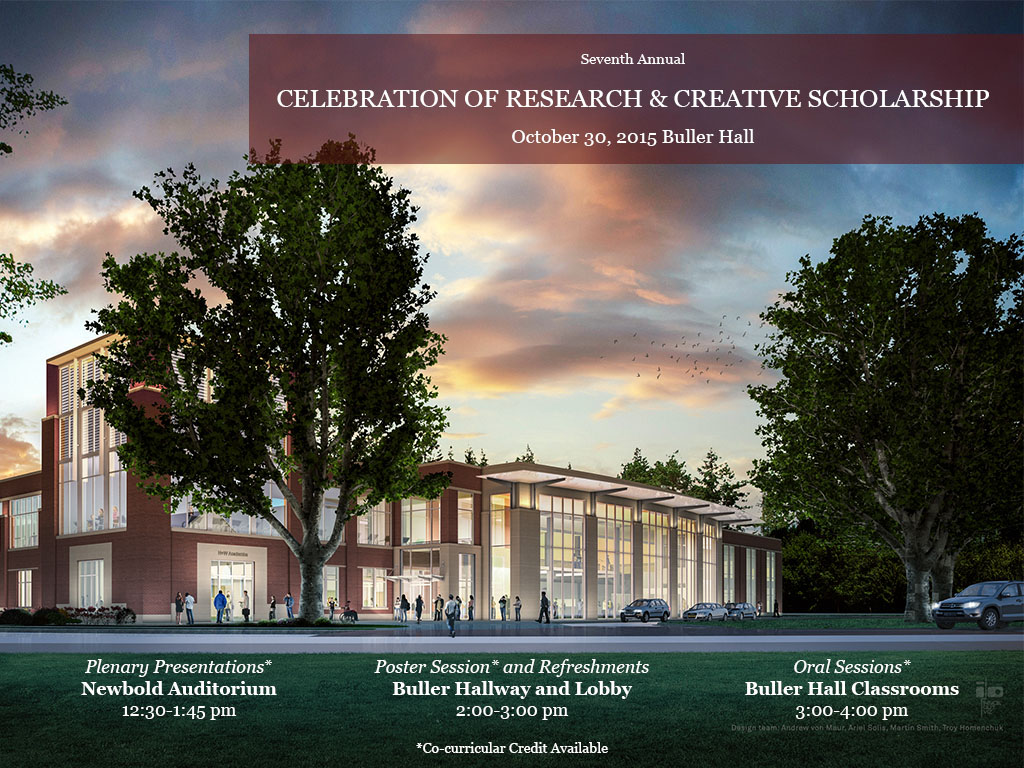
30-10-2015 2:00 PM
End Date
30-10-2015 3:00 PM
Presentation Abstract
The Cavan Burren is a plantation forest within the Marble Arch Caves UNESCO Global Geopark overlay along the Republic of Ireland and Northern Ireland border. The exposure of Cavan Burren’s "relict landscape" resulted from a 2012 partial clear fell. Our multidisciplinary team of researchers in architecture, technology, ecology, fine arts, and archaeology investigated domestic architecture reflected in three stone configurations: circular/semicircular sites, rectangular sites, and tomb structures. We also investigated human action on pedestal boulders (PBs), which had been modified by sculpting, splitting, and cutting away. Our first goal was to show human action on structures by using three-dimensional (3D) analyses to investigate relationships among cast-off pieces and resulting modified boulders. Our second goal was to compare our findings with those from Ancient Near East regions, particularly Cisjordan and Transjordan, to explore possible sociocultural parallels. Photographs of artifacts were taken from different angles, organized sequentially, and stitched together via specialized software to create 3D models with photorealistic textures. We also used fine-art (drawing/painting) techniques to render objects in situ, to gain deeper detail than obtained by modern photography alone. We digitally manipulated 3D images to test-fit cast-off remains with split-pedestal boulders and to understand how monuments were made, worked, and assembled. Digital analyses suggest that certain matched sets of boulder parts, previously split and exposed to the same weathering effects, were worked by human action. Comparative analyses suggest that small, circular rings of moderate-sized stones, designated on mapping as Hut Sites, were likely places of cultic activity near tomb structures.
Files over 3MB may be slow to open. For best results, right-click and select "save as..."
Included in
Architectural History and Criticism Commons, Architectural Technology Commons, Art and Materials Conservation Commons, Near Eastern Languages and Societies Commons, Terrestrial and Aquatic Ecology Commons
P-04 Cavan Burren 2015 Project
The Cavan Burren is a plantation forest within the Marble Arch Caves UNESCO Global Geopark overlay along the Republic of Ireland and Northern Ireland border. The exposure of Cavan Burren’s "relict landscape" resulted from a 2012 partial clear fell. Our multidisciplinary team of researchers in architecture, technology, ecology, fine arts, and archaeology investigated domestic architecture reflected in three stone configurations: circular/semicircular sites, rectangular sites, and tomb structures. We also investigated human action on pedestal boulders (PBs), which had been modified by sculpting, splitting, and cutting away. Our first goal was to show human action on structures by using three-dimensional (3D) analyses to investigate relationships among cast-off pieces and resulting modified boulders. Our second goal was to compare our findings with those from Ancient Near East regions, particularly Cisjordan and Transjordan, to explore possible sociocultural parallels. Photographs of artifacts were taken from different angles, organized sequentially, and stitched together via specialized software to create 3D models with photorealistic textures. We also used fine-art (drawing/painting) techniques to render objects in situ, to gain deeper detail than obtained by modern photography alone. We digitally manipulated 3D images to test-fit cast-off remains with split-pedestal boulders and to understand how monuments were made, worked, and assembled. Digital analyses suggest that certain matched sets of boulder parts, previously split and exposed to the same weathering effects, were worked by human action. Comparative analyses suggest that small, circular rings of moderate-sized stones, designated on mapping as Hut Sites, were likely places of cultic activity near tomb structures.
Acknowledgments
Project has been funded with a Faculty Research Grant through Andrews University.